New Zealand 1986-87
Short walks around Auckland
Waitakere Ranges
The Waitakere Ranges, to the west of Auckland, are a water catchment area where the authorities have developed many walking routes for public access. During my two years, I walked all of them (bar one, the end of which had disappeared when a road was re-aligned), mostly in the winter months as it was usually too hot for walking in summer.

|
|
| Mokoroa Falls, Goldie Bush, Sat 19 Jul ’86 |
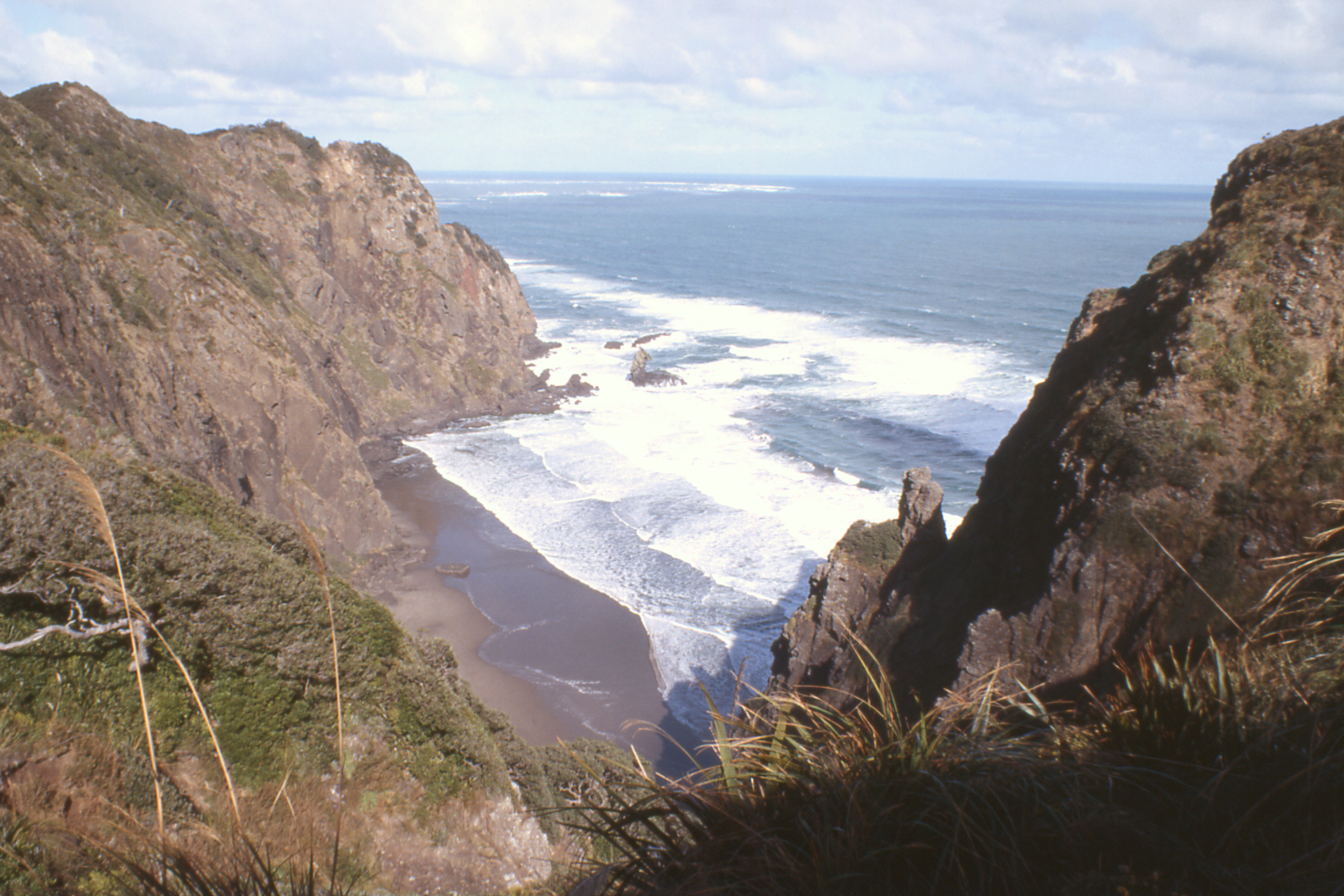
Mercer Bay, Sun 3 Aug ’86 |
Saturday, 16 August 1986 - Maungaroa Lookout Track

|

|

|
| Glen Esk |
Piha & Lion Rock | The Bush |

|

|

|
| The Bush |
Piha & Glen Esk | The Watchman, Karekare, Sunday, 17th |
Sunday, 14 September 1986 - Omanawanui & Gibbons Tracks

|

|

|
| Paratutae Island |
Manukau Harbour | Omanawanui Track |

|

|
| The coast |
Paratutae Island |
Sunday, 21 September 1986 -

|

|
| Fairy Falls |
Stoney Stream |
Sunday, 23 November 1986 - Cascade & Anderson Tracks

|
|

|
| Cascade Stream |
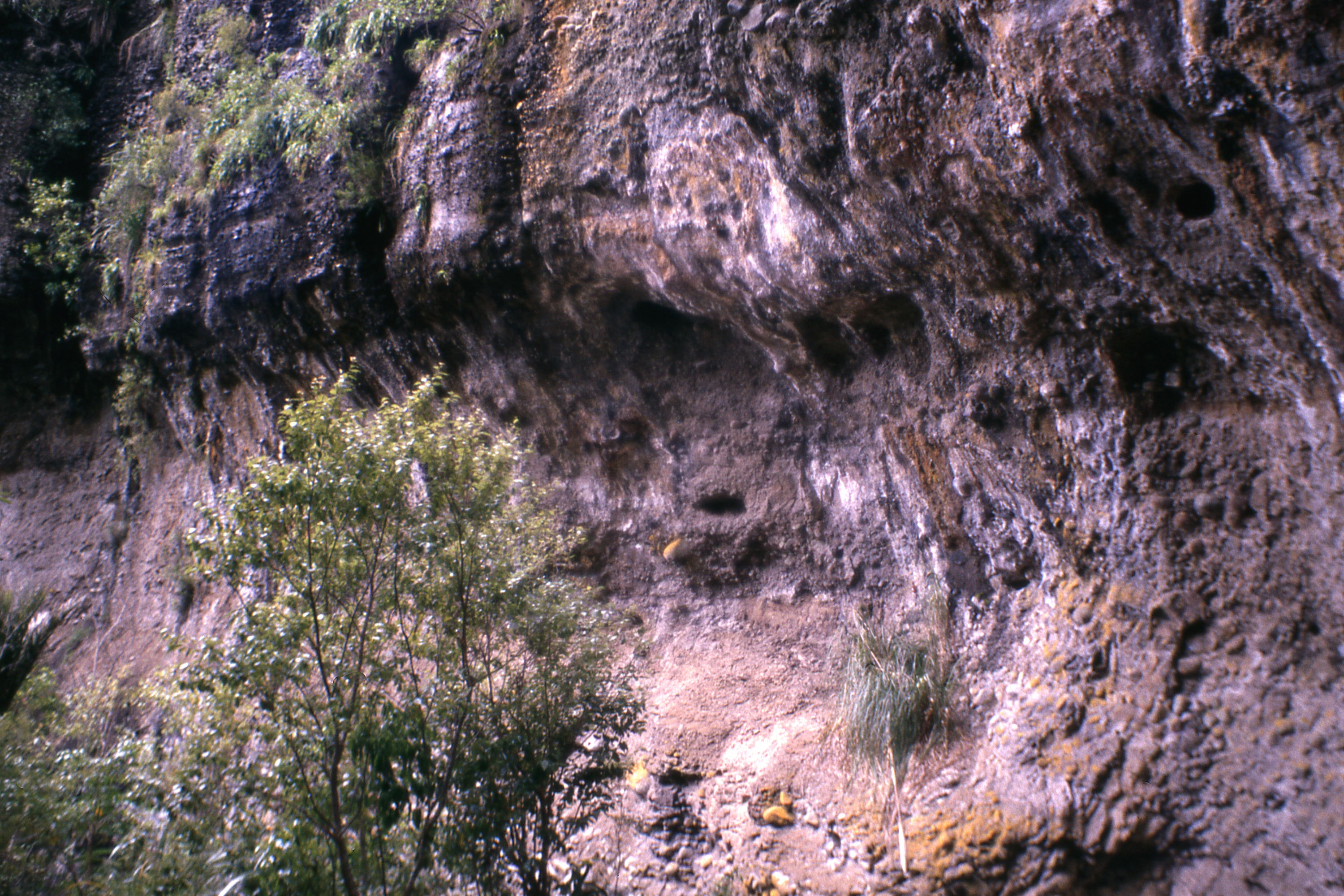
nesting burrows | Cascade Stream |
|
Sunday, 30 November 1986 from Exhibition Drive |
Sunday, 30 August 1987 Kakamatua Ridge Track |
Sunday, 19 September 1986 Te Toiokawharu |

|

|

|
| Lower Nihotupu Reservoir |
Huia Bay and the Manukau Harbour entrance |
highest point in the Waitakere Ranges |
Sunday, 27 September 1987

|

|
| White's Beach and Te Waha Point |
The cliffs above White's Beach |
Sunday, 11 October 1987

|

|
|
| |
Sunday, 18 October 1987 - Arataki Nature Trail
|

|

|
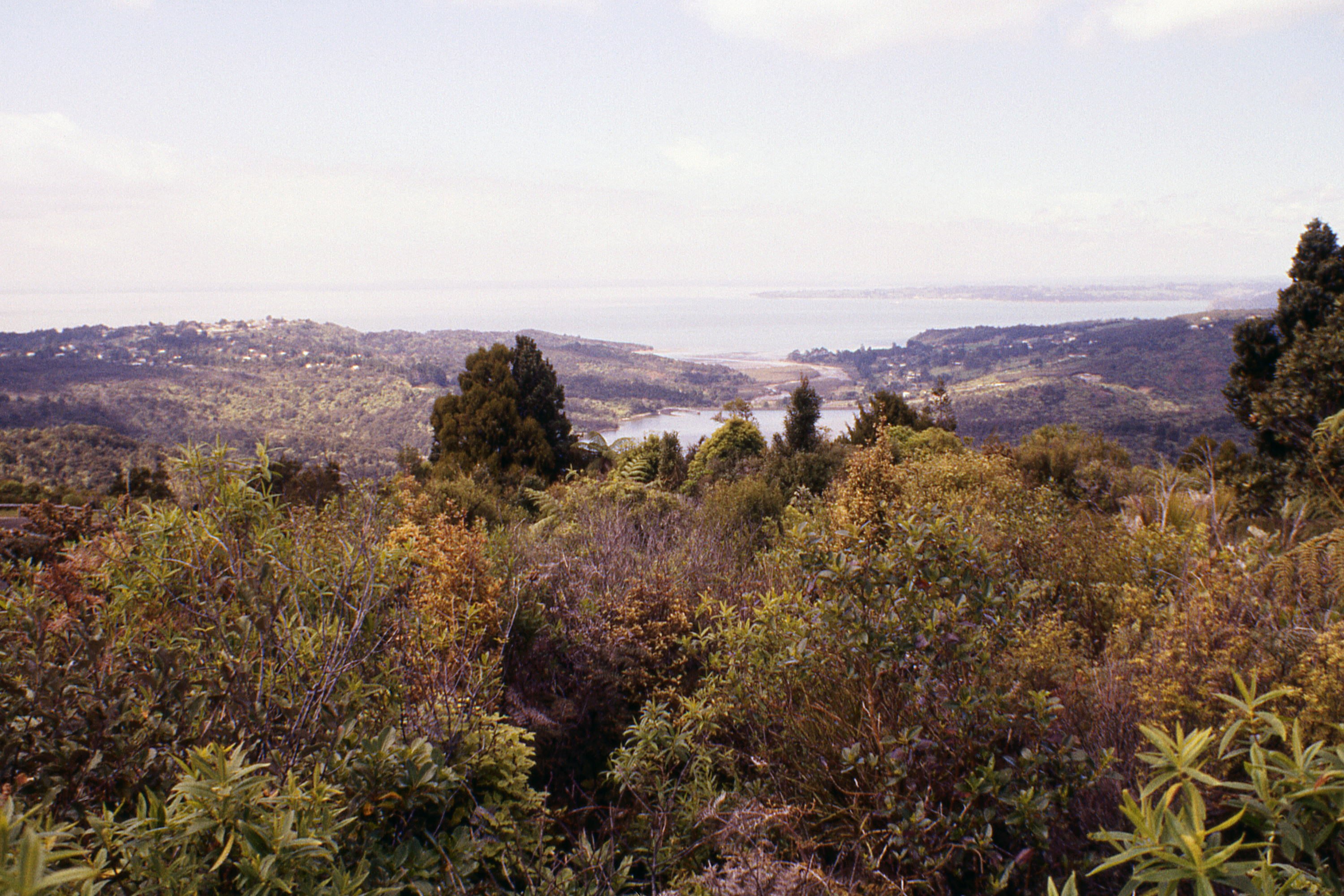
| Nihotupu Reservoir, Laingholm and the Manukau Harbour |
Kauri | Kauri Grove |
Hunua Ranges — Sunday, 13 September 1987
The Hunua Ranges, to the east of Auckland, are another water catchment area, less intensively developed for walking than the Waitakeries (being further away from the city) and I made only the one visit.

|

|
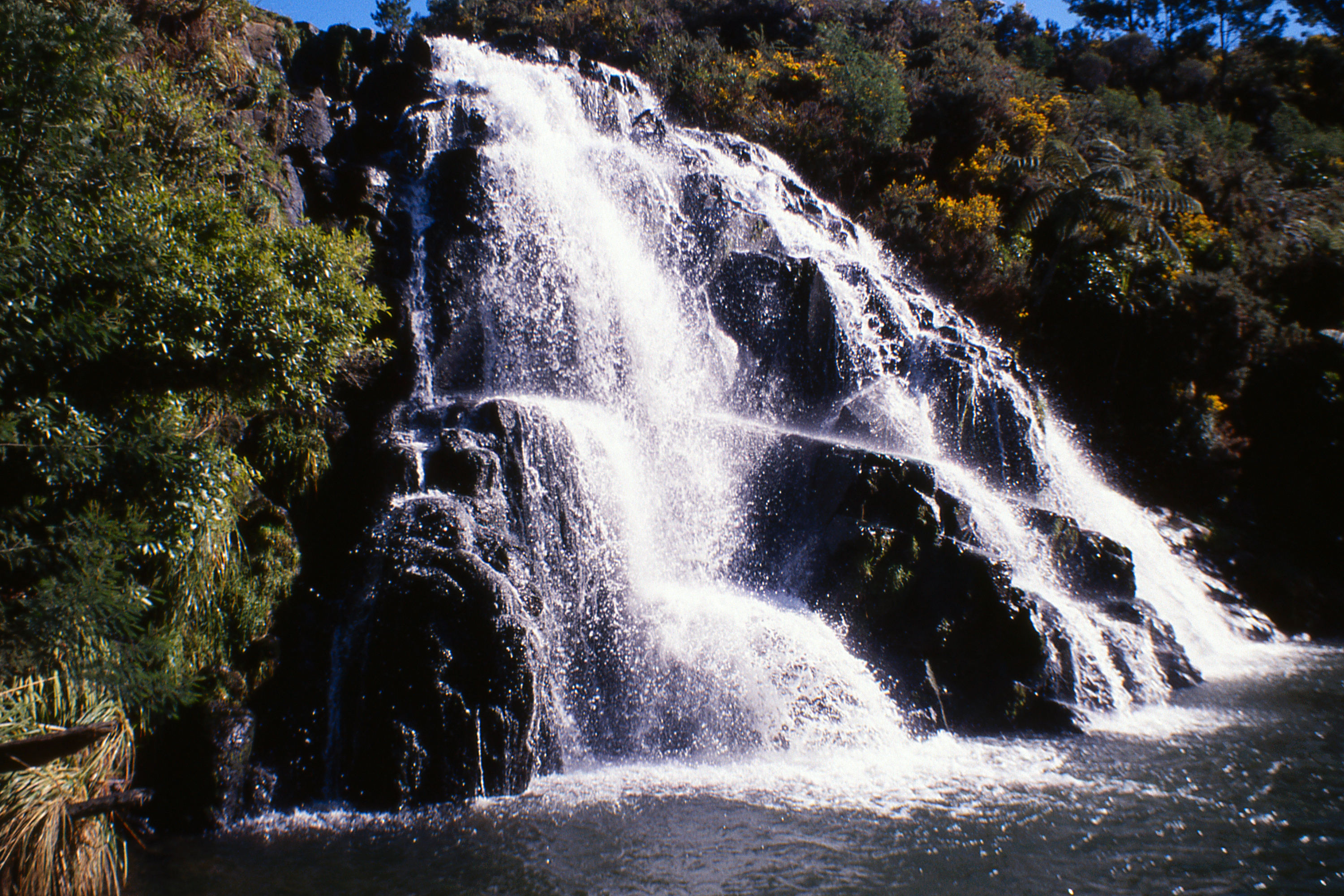
| Hunua Falls |
Wairoa Reservoir |
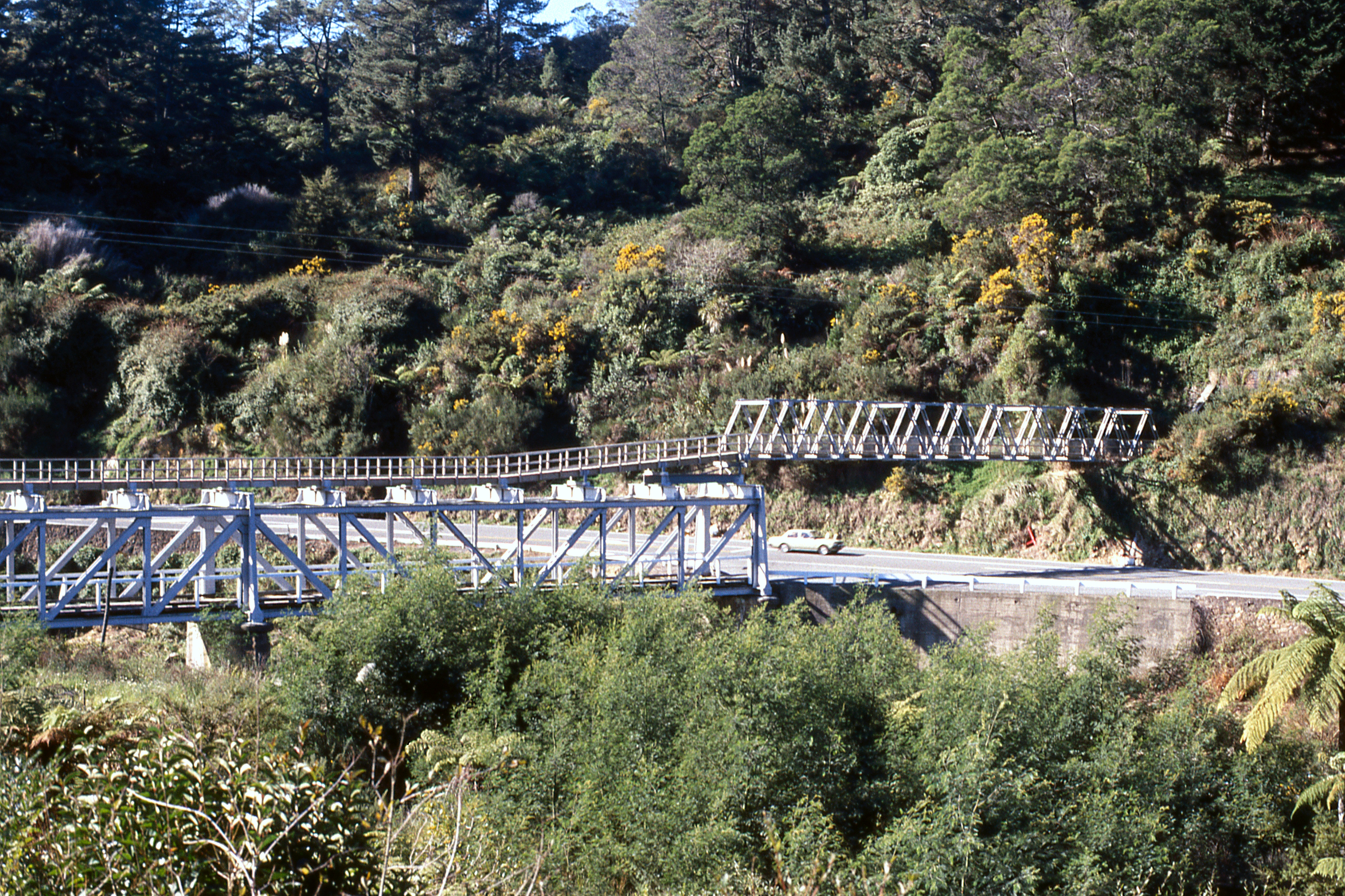
Karangahake Gorge — April or May, 1987
The Karangahake Gorge was once part of the rail route from Auckland east to the Bay of Plenty, now bypassed by the Kaimai Tunnel. The old tunnel has been converted to a walkway with an alternative route beside the river.
|
| Owharoa Falls on the Taiere Stream |

|

|

|
| Ohinemuri River in the Karangahake Gorge |
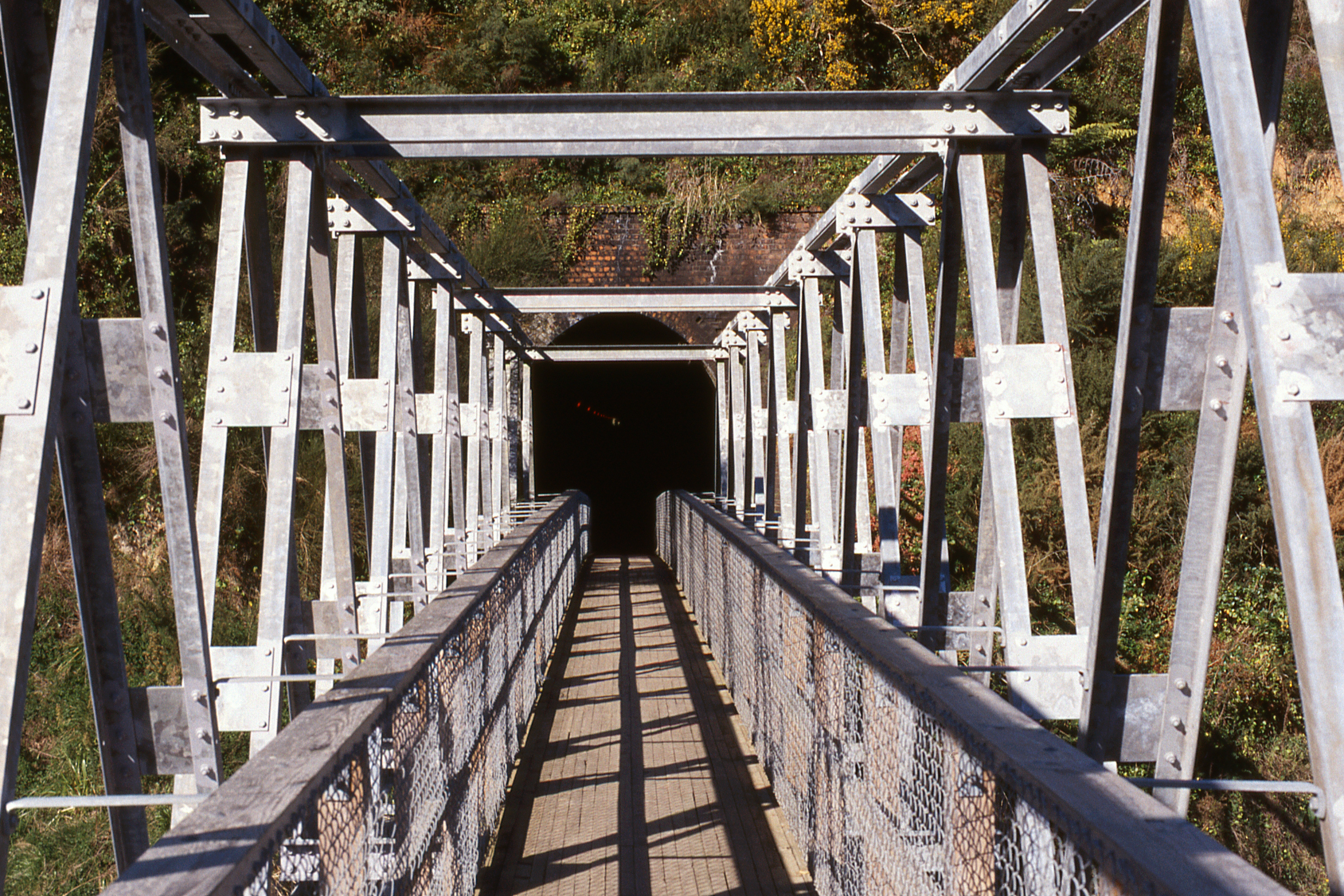
Eastern end of the tunnel | |

|

|
|
| East end of the tunnel |
West end of the tunnel | |

|

|
|
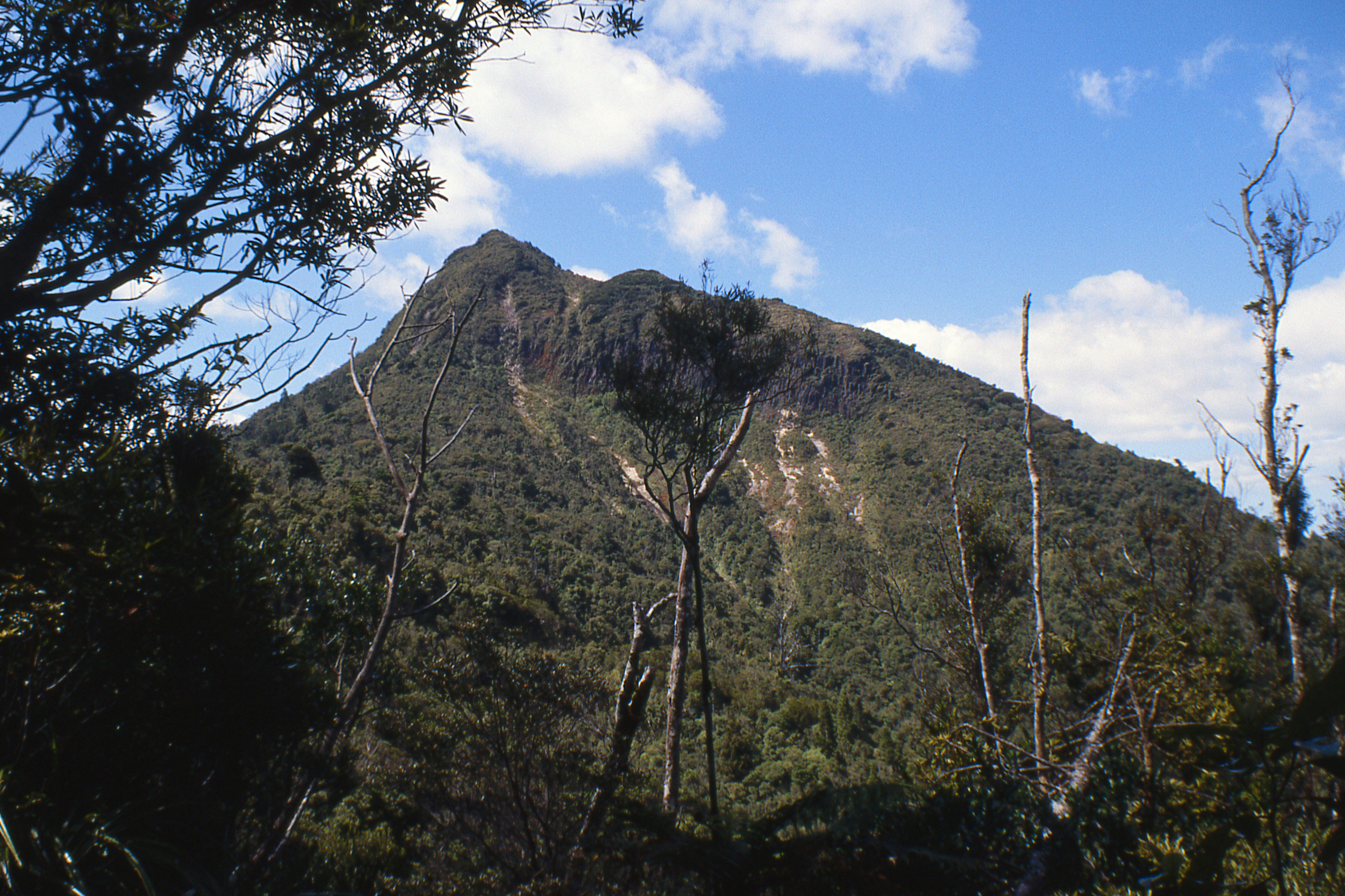
| Karangahake Mountain |
West end of the tunnel | |
Countryside near Pukekohe — August 1987
Not walking but driving — though I can't remember why I was in this area just south of Auckland.

|

|
| SSW over the Waikato River |
Pukekohe from the Hill |
Wairere Falls, Kaimai Ranges - November 1987
Another drive, I think the Falls were the objective.

|

|

|
| |
Views from Atuanui (Mt Auckland), New Year's Day, 1988
I couldn't manage the usual trip up Arthur's Seat so I had to settle for Atuanui (Mt Auckland) north of Auckland overlooking the Kaipara Harbour.

|

|
| North up the Kaipara Harbour |
West across the Kaipara Harbour |
Coromandel — Sunday, 10 January 1988

|

|
| West to the Hauraki Gulf from ... |
East towards Whangamata from ... |
|

|
| The summit of Kaitarakihi (852m) |
|
A couple of beaches.

|

|
| The beach, Motuihe Island (Sat 7 Feb ’87) |
Whangamata Beach (Sun 1 Nov ’87) |
John Reynolds — February 2013